What we heard at the UK Earth Observations Conference: from data supply to use
Insights from the UK Earth Observation Conference on a sector rich in data – and the challenge of turning it into practical use.
Last week, we spent a day at the UK Earth Observation Conference at the University of Warwick. The conference brought together researchers, industry, government departments, and regulators to address the greatest opportunities and challenges in the field of satellite earth observations (EO) - covering habitats and land cover, surface temperature, air quality, methane emissions, ground movement and a great deal else.
One theme ran through every session we attended: the challenge of how to turn the masses of remarkably detailed satellite data now available into usable, accessible insights for better public services.

Where EO sits in the UK's space plans
The conference opened a week after the UK Government published its new UK Space Strategy - where EO wasn't among the four subsectors the strategy prioritises for faster development.¹ However, Beth Greenaway and Lauren Newell from the UK Space Agency addressed this directly in the opening plenary, and they set out a fuller picture. EO hasn’t been forgotten: it keeps own chapter in the strategy and receives around £990 million of civil funding to 2029/30 - which, in fact, seems to be more than or comparable to that allocated to some of the four prioritised subsectors like in-orbit servicing, assembly, and manufacture.²
What's changed is the emphasis. The strategy's EO commitments point towards coordinated access and use, including a cross-government procurement of EO data for the whole public sector, and continued support for the EO Data Hub. The priority has moved towards making sure the data we already have reaches the people who could act on it.
The science isn't the bottleneck
At the conference, we saw that this emphasis makes sense - because the science is no longer where the difficulty lies. We'd already found this in our podcast mini-series, which asked whether space and satellite technology can help solve the public sector's biggest challenges. Across episodes on the environment, crime, energy and education, we discussed how the capability was there; EO is already being used to monitor illegal fishing, detect illicit crop cultivation and identify environmental crime. It could support school estate management and planning. The question was rarely whether satellites could help.
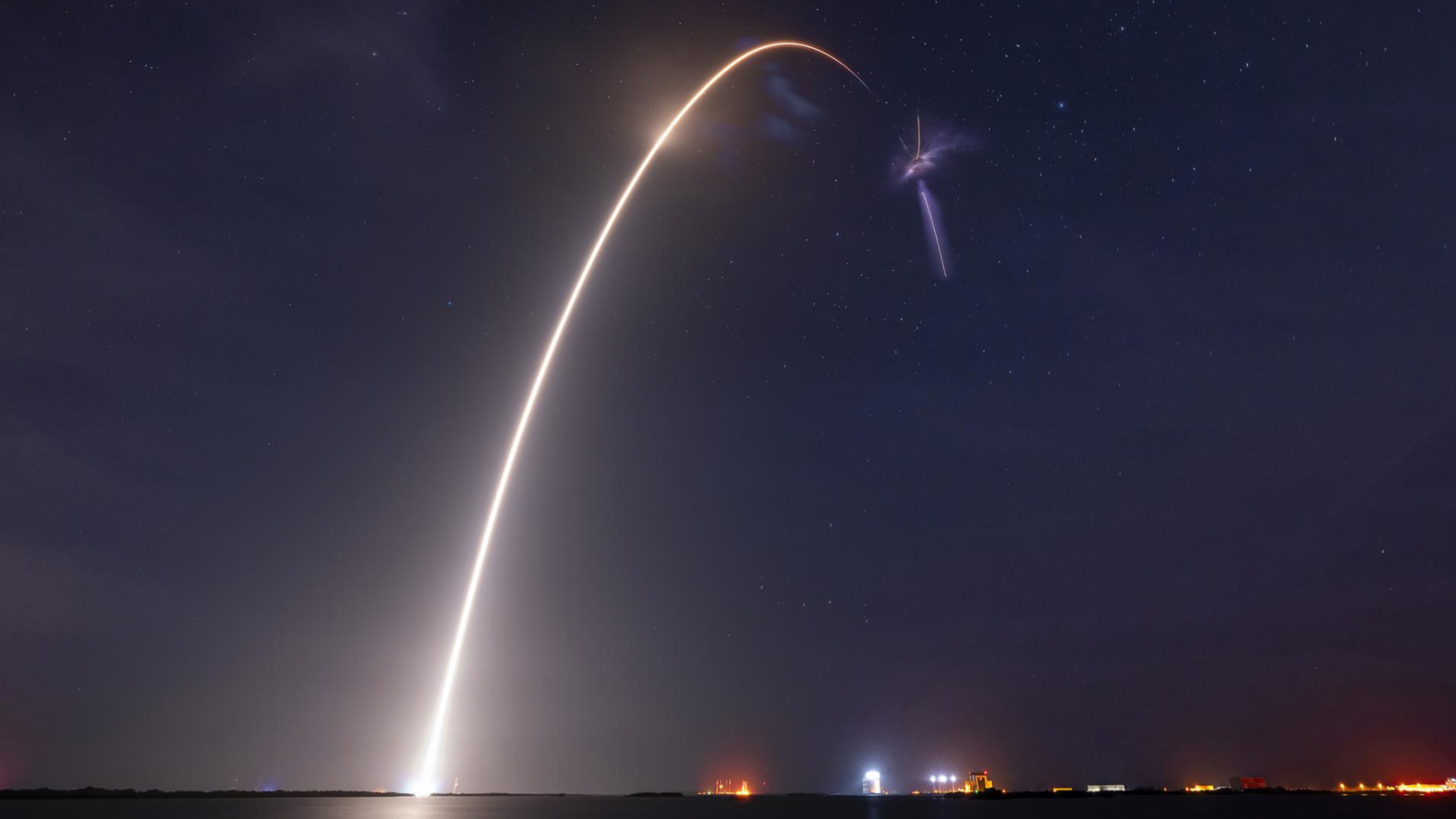
At the conference we saw fresh evidence of how quickly the science is moving. Rune Floberghagen, who leads the European Space Agency’s (ESA) science, applications and climate work, opened conference proceedings hours after ESA’s FLEX satellite launched from French Guiana at 03:21 that morning.³ FLEX measures the faint glow that plants give off during photosynthesis to assess vegetation health - from orbit, it can see fluorescence that is invisible to the human eye.
Getting the science into the hands of people who need it
The harder problem is what happens next. As Phil Buckley, Partner at The PSC, put it in our environment episode, "the data is largely there. It's about how we use it."
Jonathan Shears of CGI, speaking at the conference’s Communications for Impact workshop, had a blunter version. "I've been in the EO business for 40 years… one thing that's been fairly obvious is the sluggish uptake of EO products compared to other space capabilities."
What made the conference particularly interesting is that people are now working on this openly, and sharing what hasn't worked as readily as what has. Dan Clewley of Plymouth Marine Laboratory gave an honest account of Living Wales, which built analysis-ready satellite data and derived land cover and habitat maps to support Welsh Government policy including its commitment to protect 30% of land and sea for nature by 2030. The project’s main challenge, however, was encouraging usage among services and individuals who were new to EO. The team's response was to reduce the technical barriers around what they'd already built, through a simplified web tool that runs pre-built analysis scripts behind the scenes, and a chatbot that turns a plain-language question into the parameters those scripts need.
Mike Perry of the University of Leicester described a similar shift in his work on land surface temperature. Satellites measure temperature at a scale coarser than the decisions people actually make, which limits how useful it is for planning around urban heat and its health effects. Alongside the technical work on finer resolution, his team ran workshops with health agencies and local authorities. The key takeaway here was that EO supply needs to meet users in the formats they already work with. In practice for Mike Perry’s team, that meant supplying temperature at Lower Layer Super Output level, the small geographic unit local authorities already use for place-based policy.
We were also happy to catch up with Gemma Newbold of the EO Data Hub, which is now live. The hub gives users a single place to find, view and work with both commercial and open satellite data, with a tiered design so it works for people new to EO as well as specialists. With over 300 users already, working on site selection for planning and development, risk analysis, habitat monitoring, historic conservation and emissions detection, the hub offers another route towards the same goal of making EO data usable across government.
Familiar ground
The parallels with our own work on the usability and uptake of data in space domain awareness were hard to miss. Working with the UK Space Agency and the National Space Operations Centre (NSpOC), The PSC runs Monitor Space Hazards, NSpOC’s service providing information and warnings to UK satellite operators and government on satellite collision risks, re-entries, and fragmentations.
The PSC has taken the service through Discovery, Alpha and now Beta - throughout, a central challenge has been presenting complex estimates of satellite movements in the most usable way possible. That has meant several rounds of user research and iterative testing of prototypes, both with operators, exploring how best to inform manoeuvre decisions through features such as Manoeuvre Trade Space Plots, and with government users, including people with no technical background in orbital mechanics. We addressed the same challenges in space domain awareness as teams like Dan Clewley’s and Mike Perry’s are facing in EO, and it’s promising to see the nascent steps the EO field is taking to address those challenges too.
What we took away
What holds EO back in public services has little to do with the quality of the science or the availability of the data. It comes down to whether the people who could act on it can reach it and trust it enough to build a decision on it.
We saw real progress at the conference: pre-built scripts and conversational interfaces are lowering the technical barrier; data is being delivered in the geographies public bodies already use; a national hub is making access simpler. However,there's a good deal more to do. The next step in the field is building the infrastructure and the processes that let public services make full use of EO.
Author: Saoirse Osborne
The PSC is a specialist management consultancy dedicated to making public services brilliant. Our Space, Aerospace and Defence team works with organisations across government to turn new capabilities into better services. To discuss anything raised here, get in touch with Phil Buckley.
Sources
- HM Government, 2026. UK Space Strategy.
- HM Government, 2026. UK Space Strategy Technical Delivery Annex.
- ESA, 2026. FLEX and Sentinel-3C launched.
Latest News & Insights
What’s it like being a Space Agency intern at The PSC?
This summer, The PSC welcomed an intern to spend eight weeks supporting our work on Monitor Space…

The PSC in Conversation: Can space and satellite technology help meet our energy needs?
Alex Wates is joined by Phil Buckley, Sam Adlen and Lord David Willetts to explore how space and…

The PSC in Conversation: Can space and satellites transform education?
Alex Wates is joined by Carolina Torres, Dr Antonio Weiss and Dr Viktor Doychinov to explore how…